During the spring of 2008 my partner - Ric Reed - accepted an invitation from two friends
to go with them on a day trip to Yosemite. Ric was very impressed.
A few days later I received a message that my kid brother - Dan - had been killed in a single vehicle accident. There was to be no funeral so I had no opportunity to grieve. Ric thought that a solution to that problem would be for the two of us to go on a three day visit to Yosemite.
I flew out to Oakland on the usual milk run with a few stops along the way, spent the weekend with Ric and friends, and then - on Monday morning - we arose very early in order to be on the first BART train to Richmond where BART and Amtrak share facilities. Our train left right on time at 8:00 for the three hour ride to Merced. Because there were so few people in the car which we were in, there was no problem in securing a double seat with a table in between so we could spend the time by playing cribbage.
We arrived in Merced right on time and, within a few minutes. a bus pulled into the parking lot (there were about 20 of us on the train who were going to Yosemite). The drive up the valley - and through a canyon - lasted about three hours until we reached the Park Entrance. A mile or so further on the bus went around a bend and there was the iconic guardian of Yosemite - El Capitan!
We went around yet another bend in the highway and saw the vista of the Yosemite Valley. Yes - that is Half Dome in the distance.
El Capitan is not the only rocky peak - there are others (I believe that they are known as 'The Cathedral Rocks').
Before proceeding further I want to say that, within the main part of the park, there are city type buses that go around the perimeter and one can hop on and off at will. The park is so huge (and we visited only the western part) that the free transit was much appreciated! Also, the floor of the Merced River valley is relatively flat so, everywhere I looked, there were artists with their easels and paints. They were sitting on 'camp stools' with their feet on the ground. I wondered how many had wet feet as there is a large aquifer beneath the valley floor and the 'spring run off' had it filled to overflowing.


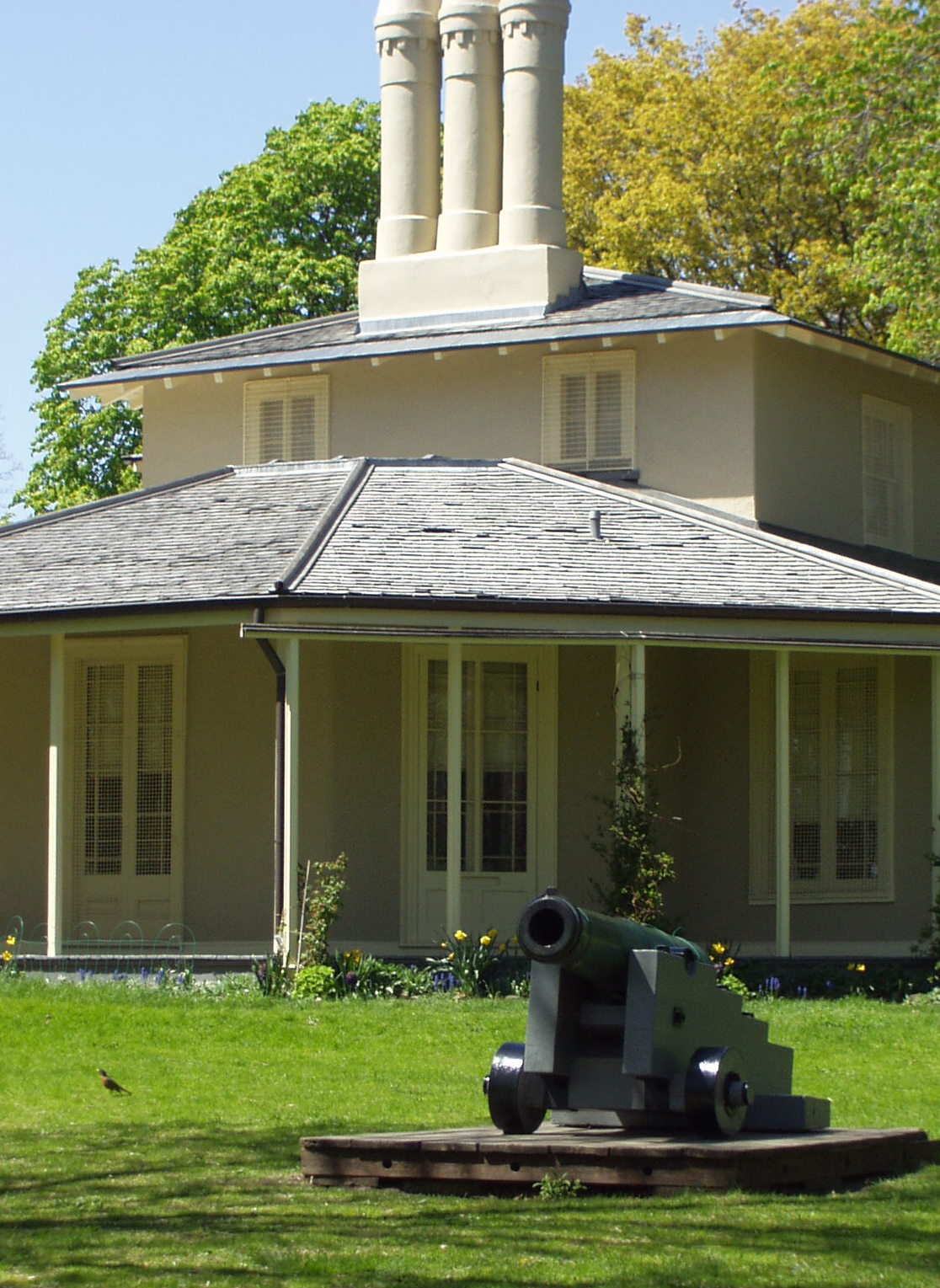
There are various types of accommodation within the park and Ric chose a neat one - a tent cabin. Here we are standing in front of it. We had delightful neighbors immediately across the pathway from our 'cabin' - a retired couple from Virginia!
You will note the green metal box to my immediate right. Because of the prowling bears and their incredibly sensitive olfactory organs, it is forbidden to leave scented items like food, cologne. shaving cream, toothpaste, etc out as bears in their dens high up on the rocky slopes would smell it and come exploring. However, they cannot smell items kept in steel containers - nor do they know how to break the padlock which is underneath the lip of the bin.

As it was spring there were waterfalls in all directions (from trickles to cascades) and the most noteworthy are Yosemite Falls so that was where we went as soon as we were settled into our cabin. Most of the waterfalls around the park are fed by melting glaciers but Yosemite Falls are the exception - they are fed by the melting of the snow pack on the ledge above the cataract. Therefore - the best time to visit is in the spring when the spate is running at the highest volume.
The trail to the base of Yosemite Falls is a loop. At the base of the falls we saw a plaque (shown below) - the Scottish naturalist, John Muir, was one of the earliest visitors to what is now the National Park. He erected a cabin and lived there for some time.
It is obvious to any observant person that the creek has changed its course more than once and obviously some huge boulders came down when the torrent was at its height. Ric went exploring among those boulders looking for a way to climb up on top of the enormous boulder that he is standing beneath. There was no way he could accomplish that!
The falls descend in three stages but it is only from one spot that all three are visible - from all of the other angles the 'middle falls' are hidden by a rocky outcrop. The ideal spot is before one reaches the base of the falls.
Just behind the plaque commemorating John Muir was a part of a cedar tree that had been washed over the cataract.
The remains of the tree are in the foreground.
Not only do mountaineers climb El Capitan and Half Dome but the escarpment by the falls as well.
As a part of the campground where we had our tent cabin there is a lodge where we went for breakfast each morning. While there we picked up a flyer with the itinerary of things to do each day. On the second day we were attracted to a 'Bear Talk' which was to be delivered by a Park Ranger at a camp ground near to where we were staying. We decided to attend.
The talk was delivered by a female Ranger who was very eloquent and for whom the bears in the Park had special meaning. One of the biggest problems there - and in all of the national parks in the mountains in the US and in Canada - are tourists who ignore signs and are caught 'feeding the bears'. The day that we arrived a woman was seen in the parking lot at Yosemite Falls feeding a bear pizza!
The bears appreciate the free handouts but the down side is that they come to depend upon it - and, if it isn't proffered, they can become ugly and dangerous.
The Ranger had a backpack with her and, at the end of her address, she opened it and pulled out the skin of what had been a large bear. It had become so used to handouts from thoughtless tourists that it seemed to forget how to forage for its food. It had become such a pest that it had to be shot. She was virtually in tears when she finished her address.
The purpose of Ric bringing me there was to find solace for the loss of my brother. On his previous hike through the park he had been to Vernal Falls (on the Merced River but a mile or two up the mountain - and reachable by a well-maintained trail). Near those falls we looked back across the valley and could see Yosemite Falls!
The Merced River begins its life at a glacier on the California/Nevada border. The first cataract is Nevada Falls which is followed by Vernal Falls. We hiked the couple of miles up there but Ric's choice of the spot to hold our memorial was not in my comfort zone - it was upon a flat rock that slanted towards the cataract.
Vernal Falls - very rugged but beautiful. The following photo is of the Merced River racing downhill to the valley floor.
Not only did we see the major waterfalls but - everywhere we looked it seemed - there were the smaller trickles.
The bus route to our campground loops around the eastern end of that part of the park thereby I noticed another hiking trail. This one actually looped up Tenaya Creek and around Mirror Lake before returning to the roadway. Unfortunately, I did not have the time for the entire loop but here are some photos of what I saw.
These photos are of Tenaya Creek. The flowering shrub to the left of the creek is a 'dogwood'. That plant is indigenous to the rain forests along the B.C. coast as well.
And the following shots are of Mirror Lake - aptly named, I might add!
The third photo shows the water from that very still lake tumbling into the creek.
The trouble with this format is that the different parts of the text become co-joined
if not separated by a photo or two - thus the addition of the preceding photo - as well as the one following.
The Merced River as seen around the midway point in the park. I took the free bus to the western end of its route and then walked the rest of the way to El Capitan (where I held my tribute to the memory of Dan). This took me along the banks of the river and past some beautiful vistas.
This photo of the Merced as seen through the trees is one of my favorite shots.
The bears are not the only moochers in the park - this squirrel was doing a good job of begging as well.
I bought a taco sandwich for a snack before going to the coach for the drive back to the railway in Merced - and that proved to be a mistake! I developed cramps, diarrhea and vomiting. I was able to keep everything inside of me during the bus trip out to the railway but I most certainly had to use the facilities on the train. However, I was well enough to fly home in relative comfort on the following day.
The bus was delayed by the number of passengers from the park and the two towns between the park and Merced who boarded so many of us worried that the train would leave without us. We need not to have worried - the train crew and the bus driver were in radio contact with each so the train was slowed and it did not arrive at the station until we were standing on the platform!